This is part 6 of my 2009 vacation. On Tuesday May 5th I drove from my sister's home in Garden Grove to the Eaton Canyon Nature Center in Altadena. I walked up canyon to the Eaton Canyon trail to the Mt. Wilson Toll Road to Henninger Flats. I relaxed, drank some water and enjoyed the view before continuing up the Mt. Wilson Toll Road to the Idlehour trail to Idlehour Trail Camp. I relaxed streamside for awhile, before reversing my route and returning to my car at the Nature Center. Roundtrip distance was about 11 miles.

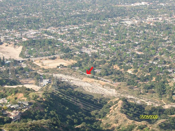
My car at Eaton Canyon Nature Center. Arrow points to Henninger Flats. [01]

I love these old twisted oaks. [02]
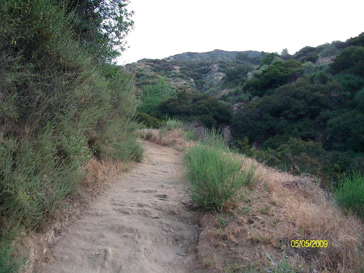
Eaton Canyon Trail to the Mt. Wilson Toll Road is very steep. [03]

So glad I am doing this early before the sun hits this part of the trail! [04]
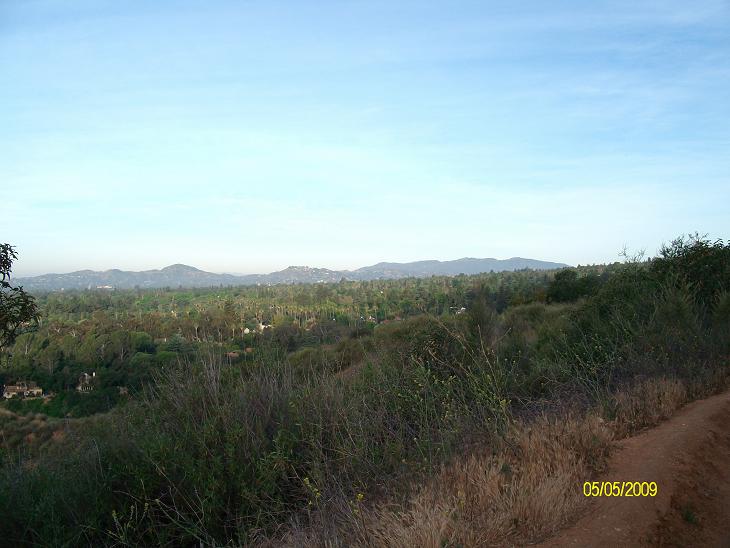
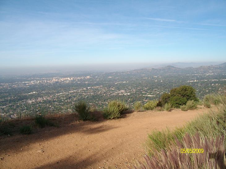
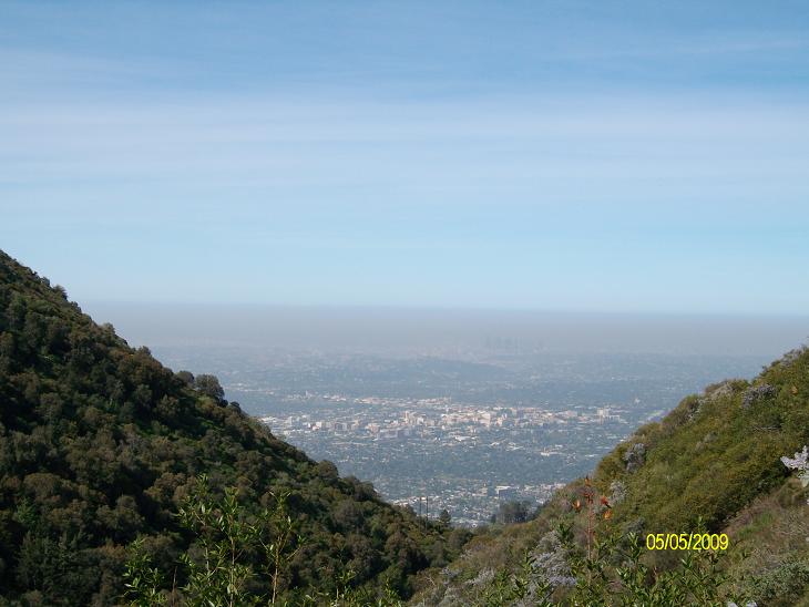
View from Eaton Canyon trail. [05]

View from Eaton Canyon trail. [06]

This is where the Eaton Canyon trail meets the Mt. Wilson Toll Road. [07]

Along the Mt. Wilson Toll Road. [08]

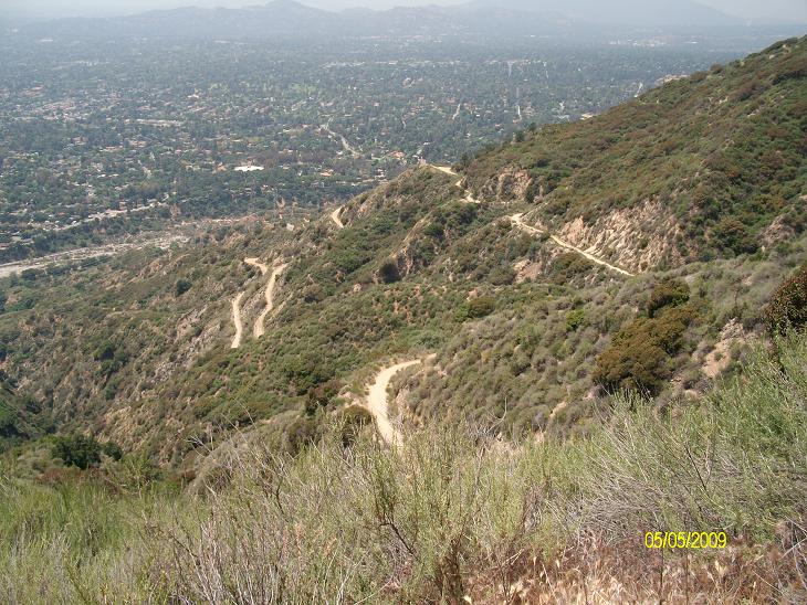
View of the Mt. Wilson Toll Road from above. [09]
In several places, the road is a narrow path due to mudslides/rockslides. [10]
This shot is for my daughter Emma, who stood here when she was 9 years old. [12]

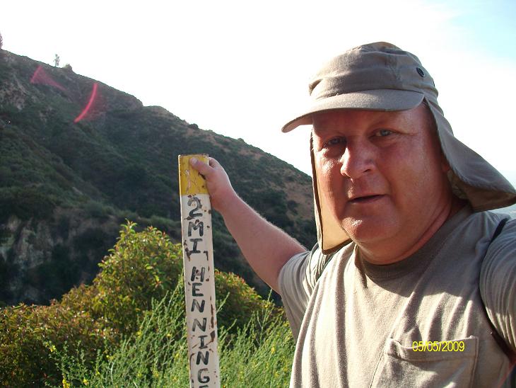
Almost to Henninger Flats. [13]
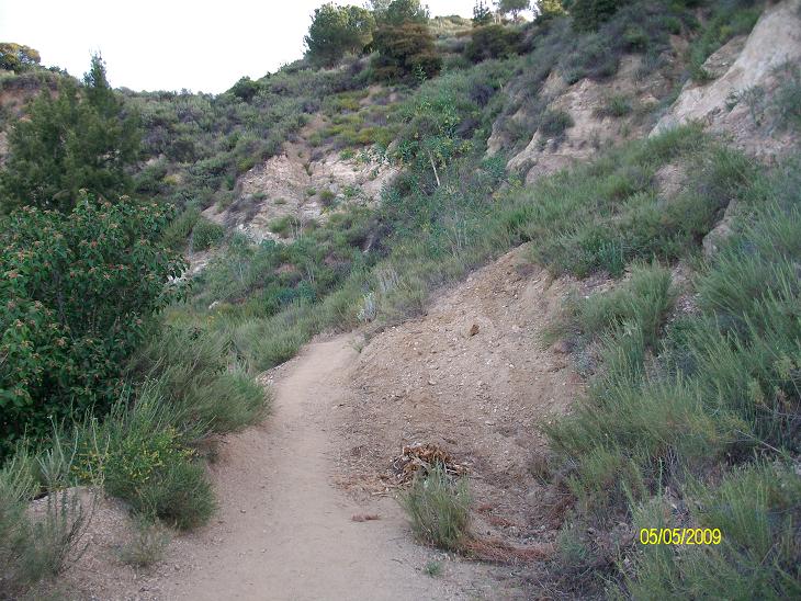
Along the Mt. Wilson Toll Road. [14]

Looking back to the Eaton Canyon Nature Center. [15]
My car at Eaton Canyon Nature Center. [16]
Almost to Henninger Flats. [17]

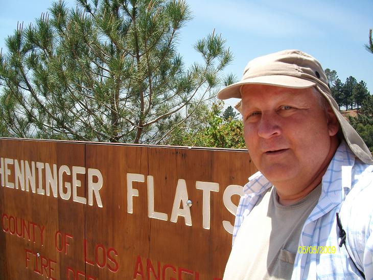
Welcome to Henninger Flats. [18]

Sign at Henninger Flats. I didn't see any rattlesnakes. [19]
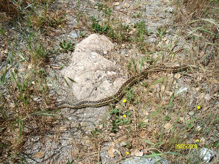
But I did see this guy, stretched across the trail. [47]

Pretty snake... [48]
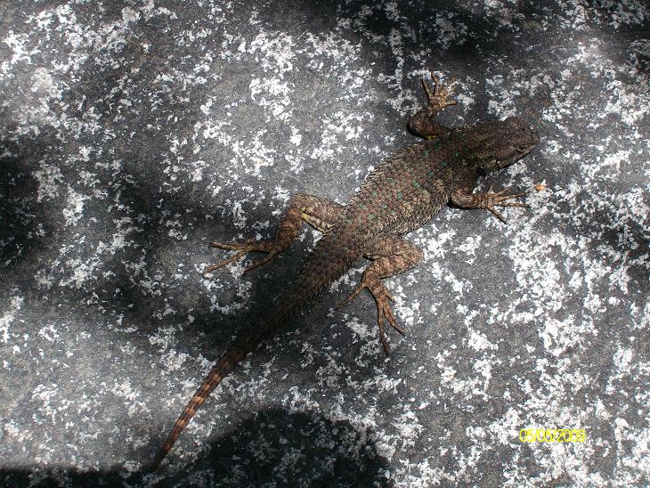
And this lizard sunning himself on a rock. [39]
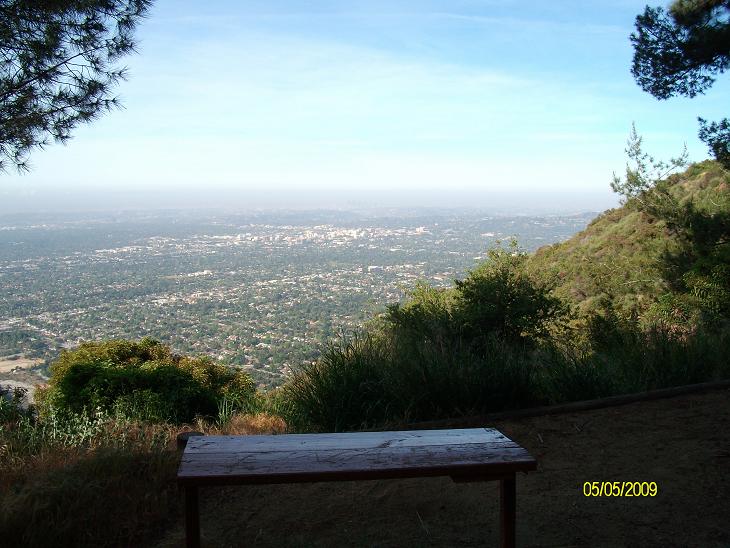
The view from Henninger Flats. I've camped here several times. I find this spot very calming. [20]

Henninger Flats is currently closed to camping. I don't know why. [21]

Continuing on the Mt. Wilson Toll Road through Henninger Flats. [23]
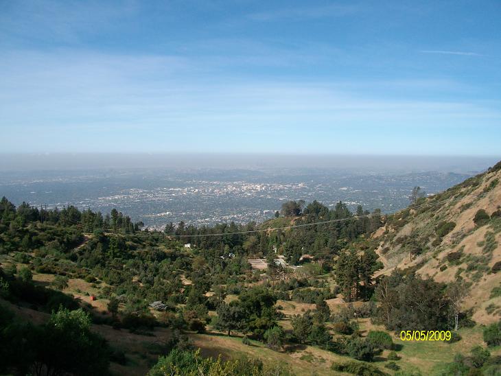
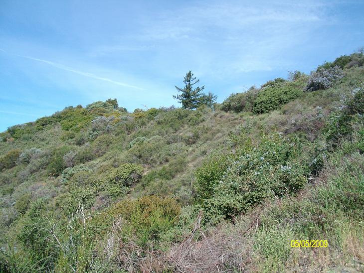
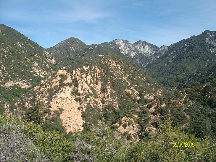
The view from the Mt. Wilson Toll Road, above Henninger Flats. [24]
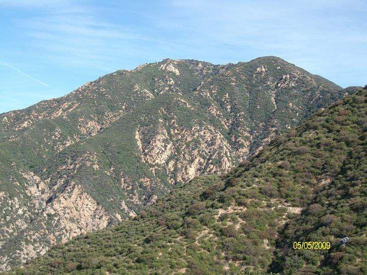
The view from the Mt. Wilson Toll Road, above Henninger Flats. [25]

The view from the Mt. Wilson Toll Road, above Henninger Flats. [26]
Seen on the Mt. Wilson Toll Road, above Henninger Flats. [27]
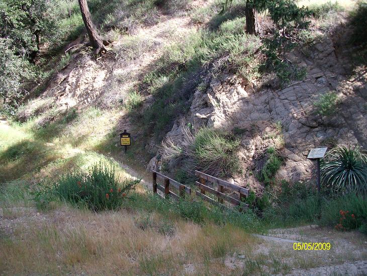
Where the Idlehour Trail leaves the Mt. Wilson Toll Road. [28]
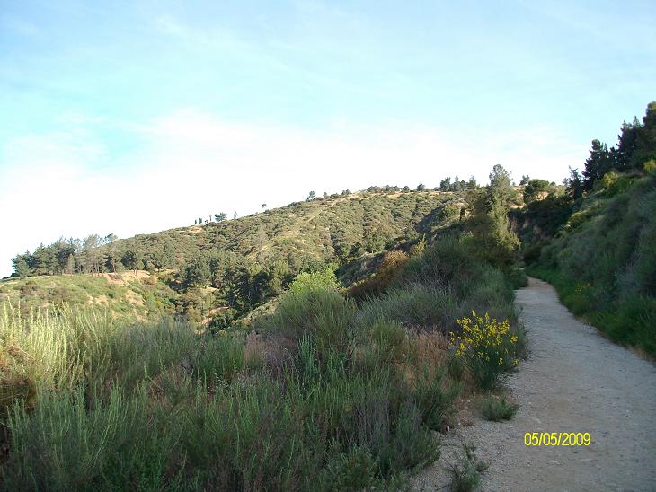
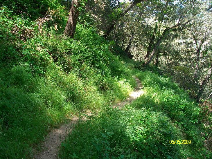
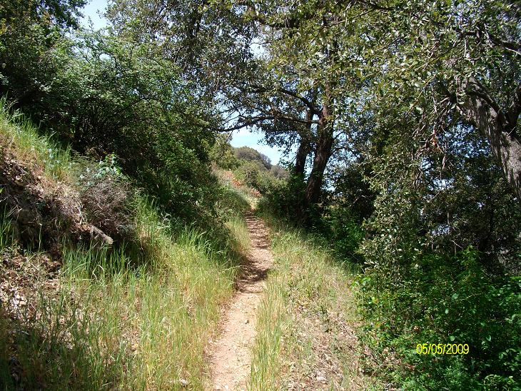
Along the Idlehour trail. [29]
Along the Idlehour trail. [30]

Along the Idlehour trail. [31]

Along the Idlehour trail. [32]

Along the Idlehour trail. [33]
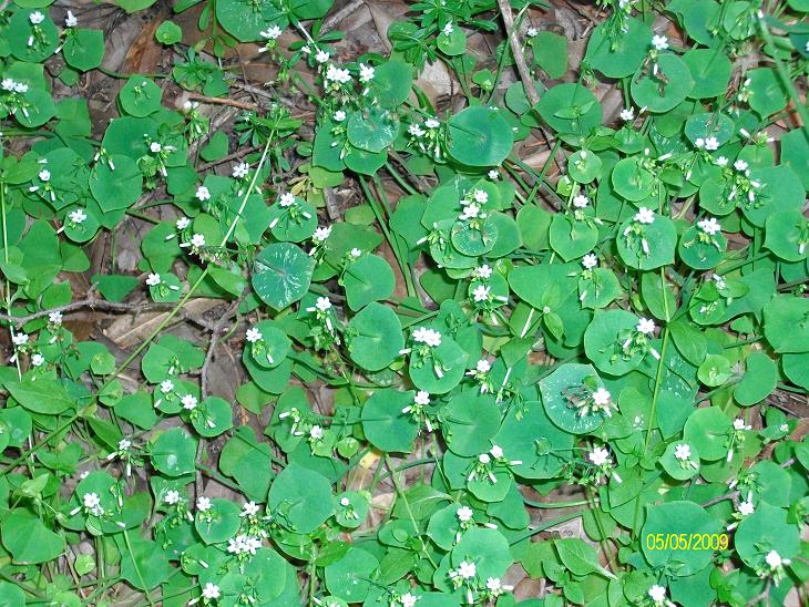
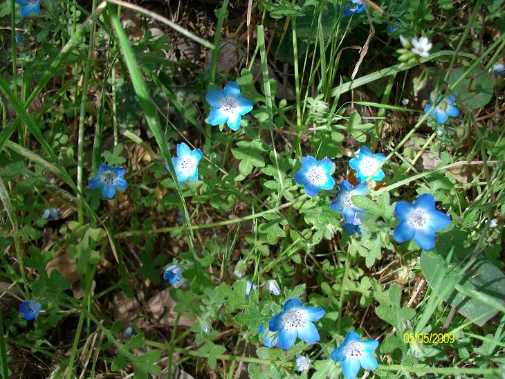
Miners' Lettuce as seen along the Idlehour trail. [34]
Along the Idlehour trail. [35]

Along the Idlehour trail. [36]
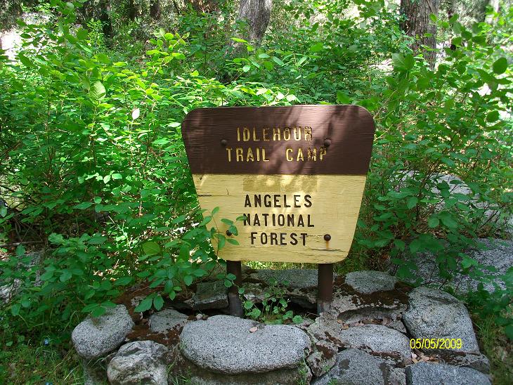
Welcome to Idlehour Trail Camp. (Sign surrounded by poison oak.) [37]

Me at Idlehour Trail Camp. [38]

There's not much here. A couple of stoves. One table. No latrine. [46]
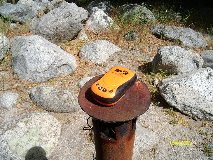
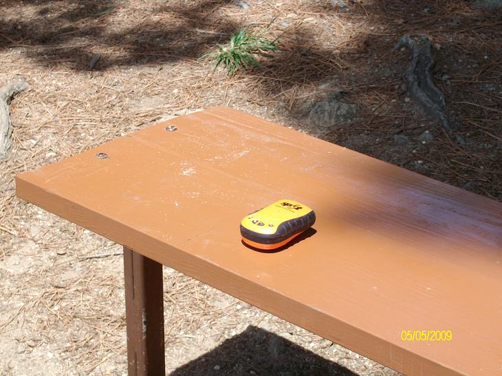
Testing my SPOT transmitter at Idlehour Trail Camp. It worked. (I've had a few failures recently, but I think it's because I haven't been leaving it out long enough. I think the "OK" light goes off completely (stops blinking) when the "OK" message goes through.) Here's the message:
Bill Qualls check in OK. All is well. No worries. ESN:0-7380190.
Latitude:34.2086. Longitude:-118.0843. Nearest Location:not known.
Distance:not known. Time:05/05/2009 12:20:47 (US/Central).
http://maps.google.com/maps?f=q&hl=en&geocode=&q=34.2086,-118.0843&ie=UTF8&z=12&om=1
[40]
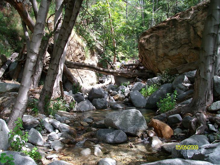
The creek at Idlehour Trail Camp. [42]

The creek at Idlehour Trail Camp. [43]
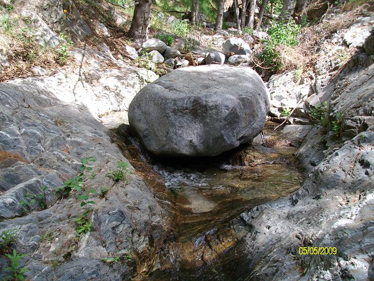
The creek at Idlehour Trail Camp. [44]

The creek at Idlehour Trail Camp. [45]

Heading back to Henninger Flats now. Seen along the Idlehour trail. [50]
Seen along the Idlehour trail. [51]
Seen along the Idlehour trail. [52]
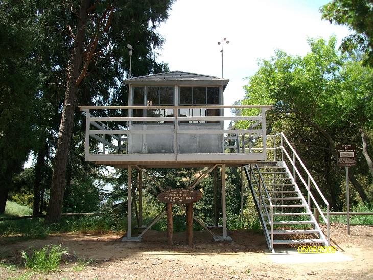
Retired fire lookout tower on display at Henninger Flats. [53]

About the retired fire lookout tower on display at Henninger Flats. [54]
Testing my SPOT transmitter at Henninger Flats. It worked. Here's the message:
Bill Qualls check in OK. All is well. No worries. ESN:0-7380190.
Latitude:34.1925. Longitude:-118.09. Nearest Location:not known.
Distance:not known. Time:05/05/2009 14:44:01 (US/Central).
http://maps.google.com/maps?f=q&hl=en&geocode=&q=34.1925,-118.09&ie=UTF8&z=12&om=1
[55]
Leaving Henninger Flats. This too is for my daughter Emma. [56]
Going down the Mt. Wilson Toll Road. [57]

The creek at Eaton Canyon is completely dry...! [58]
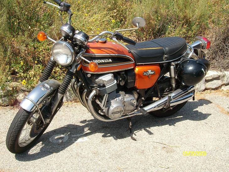
Back at the parking lot...it's nice to see an old Honda 750 Four still on the road! [59]
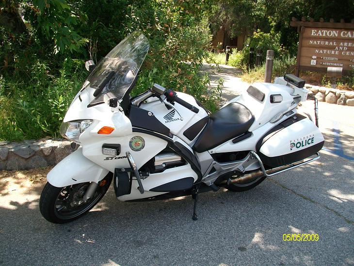
This Pasadena police bike isn't nearly as cool as that old 750! One of the Hoodlums who goes by "ML" later commented, "The first bike is a 1973 CB750K3 Four, while the second is an ST1300 PA, both Hondas. The old 750s are like Woody Allen's VW bug in Sleeper; if you don't recognize the allusion, I advise you to rent the film. Suffice it to say that old air-cooled VW bugs, 750 single-cam Hondas, cockroaches and Keith Richards are the only things you can most definitely count on to function as advertised after the apocalypse." [60]
Copyright © 2009 by Bill Qualls. Last updated May 9, 2009.
Back to my vacation 2009 index page.
Back to my survival page.