


Back to the index.
| Walker Ranch is part of Boulder County Parks and Open Space. From Denver, take 36 north to Boulder, exit at Baseline Road, turn left and up about 8 miles into the mountains. The Walker Ranch Loop Trail can be accessed from several points: I began at the South Boulder Creek trailhead which is on the left side of the road, just past the group picnic area. | |
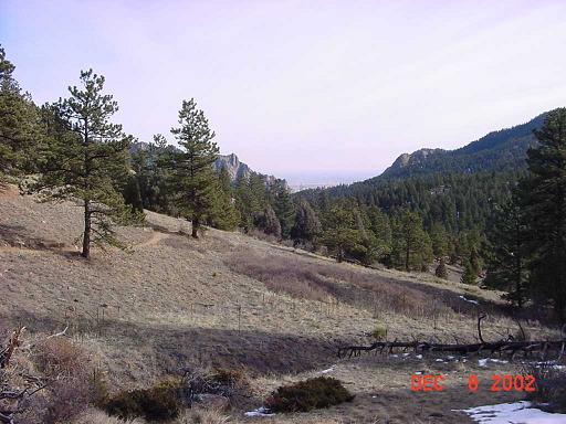
| I was the first to arrive at the trailhead this morning. I began my hike with fleece cap and mittens, but soon put them away. I was comfortable all day long in a light weight fleece sweater. Hard to believe this is December! |
|
| The Walker Ranch Loop trail is 7.8 miles long. I went to the left. |
|
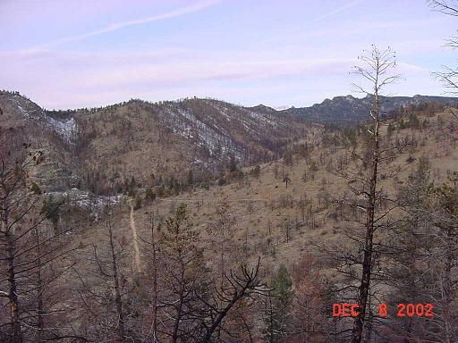
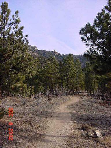
| Shortly into the hike, I looked back and could see the trail I would take at the end of my hike. Gonna be a steep climb! |
|
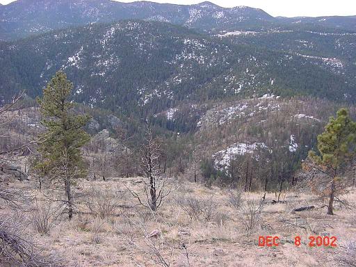
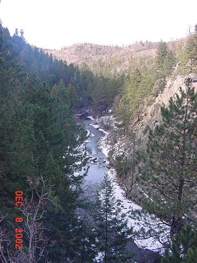
| Looking down into South Boulder Creek canyon. The trail was almost entirely downhill for three miles. But this is a loop trail, so I know what goes down must go up! |
|
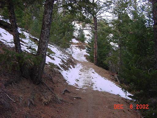
| Patches of snow - and ice - on the north facing slopes confirm my decision to stick to lower elevations this late in the year. |
|
| This is probably a nice cascade in the summer. Now it's ice. |
|
| The trail to Eldorado State Park is just a couple hundred yards north of the bridge over South Boulder Creek. This is a hike I would like to try sometime: Eldorado State Park to the Walker Ranch Loop trail, 7 miles round trip. |
|
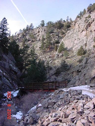
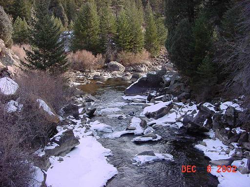
| The bridge over South Boulder Creek. The creek is beautiful here. These pictures would be much nicer if the sun was higher, but I doubt this canyon gets much sunlight or else there wouldn't be any snow. |
|
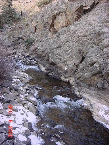
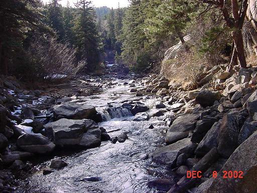
| South Boulder Creek, looking upstream from the bridge. |
|
| South Boulder Creek, looking downstream from the bridge. |
|
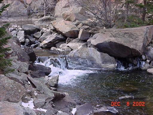
| South Boulder Creek a short walk up from the bridge. |
|
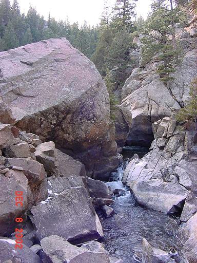
| The creek flows both around and under this enormous boulder. |
|
| Your time at the creek is short lived as the trail makes a short but very steep climb out of the canyon. |
|
| Once you climb out of the canyon, the trail is very nicely graded. You are gaining elevation but usually at a very comfortable rate. |
|
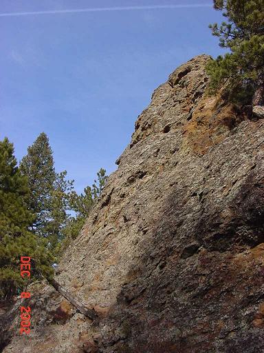
| Spectacular trailside boulder. Photo is less than spectacular. |
|
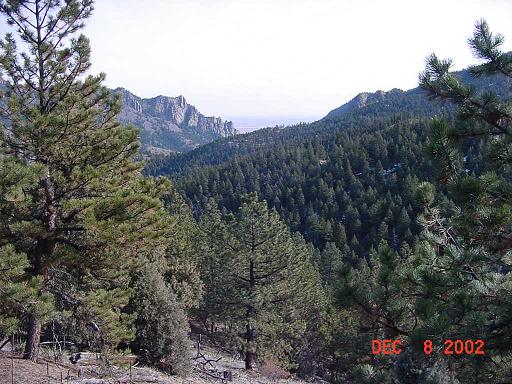
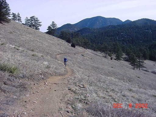
| There are many views towards Boulder from the Crescent Meadows trail such as this one. |
|
| Almost to the Crescent Meadows trailhead. |
|
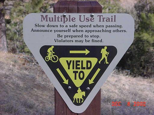
| This is a multiple use trail. |
|
| I saw about a dozen hikers and about twice that many mountain bikers. No horses today. |
|
| Yours truly at Crescent Meadows trailhead. Front Range mountains and Gross Reservoir Dam in the background. |
|
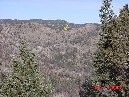
| Looking back to the start of my hike from just below Crescent Meadows trailhead. You can see the trail I will climb. But first I have to go down (again) to South Boulder Creek. |
|
| One of many nice rock outcroppings. |
|
| South Boulder Creek about one mile from Crescent Meadows trailhead. |
|
| South Boulder Creek. The trail follows the creek for about a quarter mile before beginning a steep climb to the trailhead. It's about one mile and uphill all the way, but I was pleased with how effortless it seemed. |
|
|
Copyright © 2002 by Bill Qualls. Last updated December 8, 2002.
Back to the index. |
|