


Back to the index.
| I'm in Denver on business. Gave myself the day off today so I could go hiking. I drove to Boulder, then took Canyon Road (Highway 119) to Colorado's Peak-to-Peak Highway, to the Brainard Lake Recreation Area. I parked at the Long Lake Trailhead (elevation 10,400) and hiked the Pawnee Pass trail four miles to Pawnee Pass (elevation 12,550.) | |
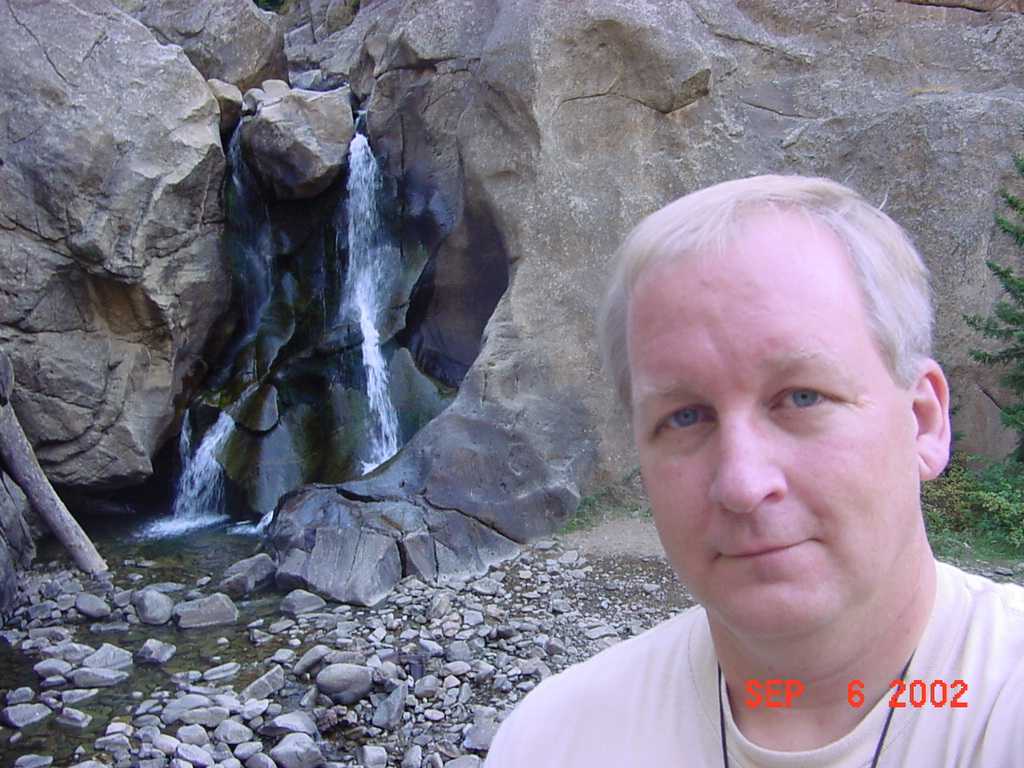
| I made a short stop at Boulder Falls, a short walk from highway 119 above the city of Boulder. |
|
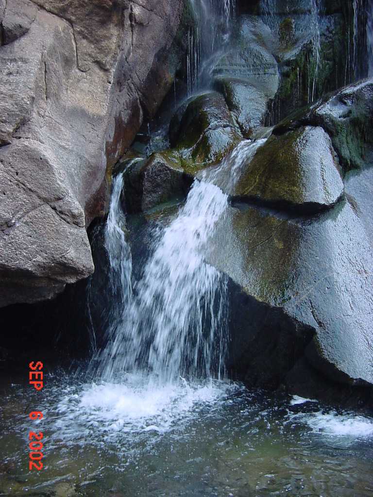
| Another shot of Boulder Falls. |
|
| The view from Peak-to-Peak highway is breathtaking. |
|
| The Pawnee Pass trail follows the northern shore of Long Lake. |
|
| Another view of Long Lake from the trail. |
|
| Yours truly. |
|
| There is a fork in the Pawnee Pass trail near Isabelle Lake. Go left to the lake, right to the pass. This is looking down at Isabelle Lake as I begin the climb to Pawnee Pass. |
|
| It's a long climb and I am feeling the altitude (I live in Illinois!) |
|
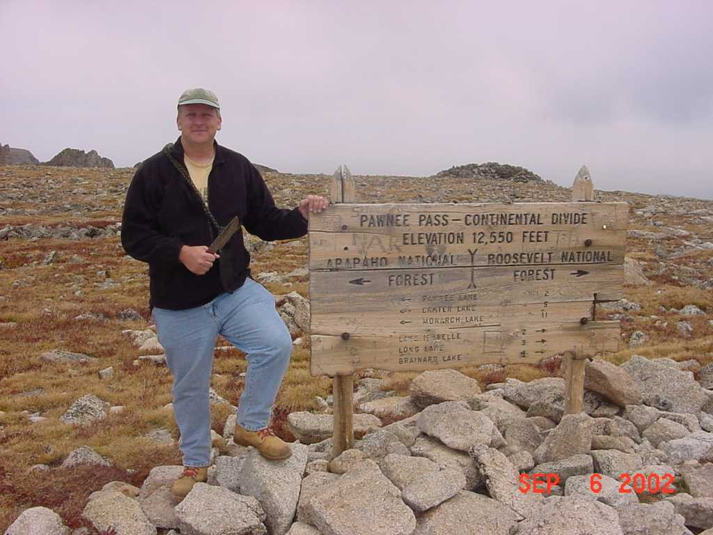
| I made it. Pawnee Pass is on the Continental Divide at 12,550 elevation. |
|
| The view to the west; the other side of the pass. |
|
| Another view to the west. I was surprised by the headache I got after making it to the pass. Just not used to the altitude, I guess. |
|
| Granted, there is no need for a large survival knife up here, but let the record show that I was the first to bring a George Millard knife to the Continental Divide! How's that, George? Notice I am wearing a fleece sweater now. You need to be prepared for quick changes in the weather at these altitudes. |
|
| Sparse but colorful ground cover. |
|
| Heading back. |
|
| Looking down a steep cliff to a small alpine lake. |
|
| Isabelle Lake from high above. |
|
| I hiked down with Brian Holkeboer. Brian recently moved to Boulder from Holland, Michigan. He is a very strong hiker. We talked for the entire four miles. He reminded me a lot of myself when I was 20: some questions are timeless. |
|
|
Copyright © 2002 by Bill Qualls. Last updated September 6, 2002.
Back to the index. |
|