


Back to the index.
| I left Denver around 6:00am and drove up I-25 to I-70 westbound. I got off at Idaho Springs and drove Virginia Canyon Road to Central City. Virginia Canyon Road is a narrow, steep, winding dirt road - a real "white knuckler" in my Saturn! I'm glad I was going up instead of down! I continued on the Peak-to-Peak Highway to the Brainard Lake Recreation Area. I parked at the Mitchell Lake Trailhead (elevation 10,400) and hiked three miles to Blue Lake (elevation 11,300.) | |
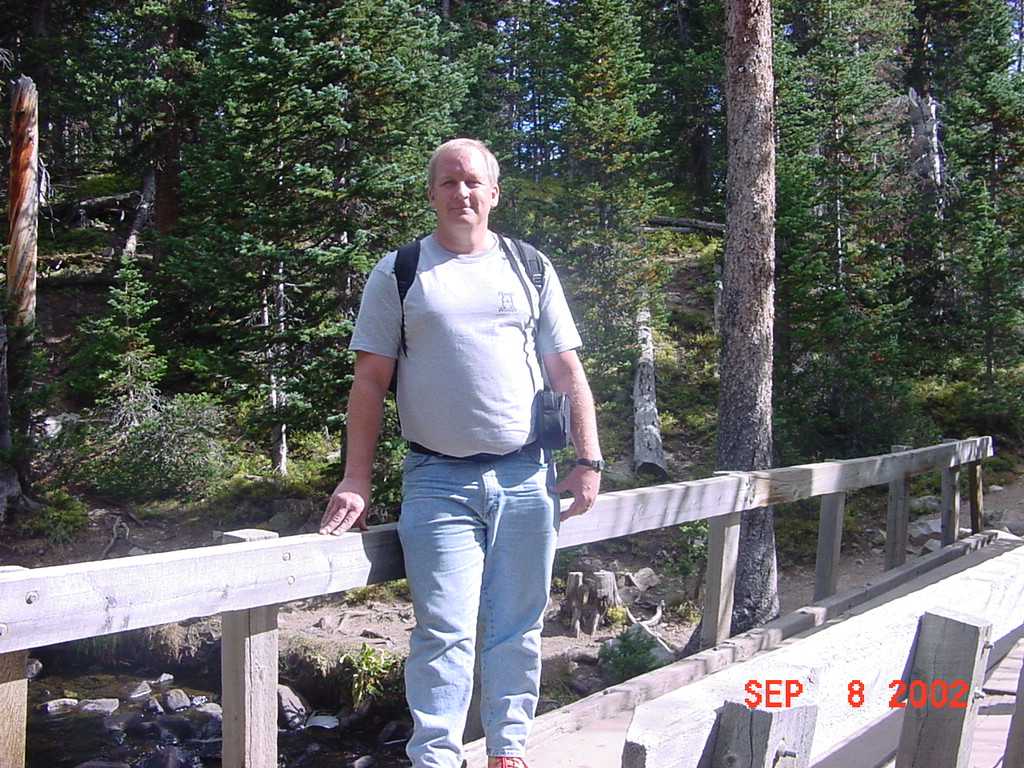
| Yours truly on a footbridge just a short distance from the trailhead. |
|
| Mitchell Lake is one mile from the trailhead. |
|
| Yours truly at Mitchell Lake. |
|
| A view of the stream flowing from Mitchell Lake. |
|
| Mitchell Lake from above. |
|
| Making friends on the trail...this is Bob Zinser (left) and Dave Johnston (right). Both have had open heart surgery. They hike together regularly. Pretty cool, huh? |
|
| Almost to Blue Lake. |
|
| Small flowers on the trail. |
|
| The stream below Blue Lake. |
|
| Water flowing from Blue Lake. Colorado is experiencing a severe drought. I suspect there would be much more water here in a "normal" year. |
|
| Blue Lake. |
|
| Blue Lake. |
|
| Yours truly at Blue Lake. |
|
| Dave Johnston (left) and Bob Zinser (right) at Blue Lake. |
|
| The falls which feed Blue Lake. |
|
|
Copyright © 2002 by Bill Qualls. Last updated September 8, 2002.
Back to the index. |
|